Work
To the Moon
Profiles (The Human Gimbal)
Optimized Camera Rig
I Had Goliath in my Parlay
Diving Board
Another Fountain
Hero Shot
After After Noon
Crash Site
The Dying Chicken
Touch Me
The Perfect Death
Secret
Still Still Still Waiting
Power Nap // Last Rites
Red Herring
Hidden Away
Hinges on Itself
My dad was considering suicide because...
A Monument to Weber or my Dad or Something or Other
Still Still Waiting
Petting Zoo
Sideways Construction in IV Acts
After Noon
Still Waiting
Our Trespasses
American ISOTYPE
Self-Reflection
Effects of Good Government in the City Over Time
Still Genesis
Mediated Idolatry
A Few Trips to the Midwest
Overseas Repetitions
Framework of Motion
Writing
Contact/About
Chris Golub
Work
To the Moon
Profiles (The Human Gimbal)
Optimized Camera Rig
I Had Goliath in my Parlay
Diving Board
Another Fountain
Hero Shot
After After Noon
Crash Site
The Dying Chicken
Touch Me
The Perfect Death
Secret
Still Still Still Waiting
Power Nap // Last Rites
Red Herring
Hidden Away
Hinges on Itself
My dad was considering suicide because...
A Monument to Weber or my Dad or Something or Other
Still Still Waiting
Petting Zoo
Sideways Construction in IV Acts
After Noon
Still Waiting
Our Trespasses
American ISOTYPE
Self-Reflection
Effects of Good Government in the City Over Time
Still Genesis
Mediated Idolatry
A Few Trips to the Midwest
Overseas Repetitions
Framework of Motion
Writing
Contact/About
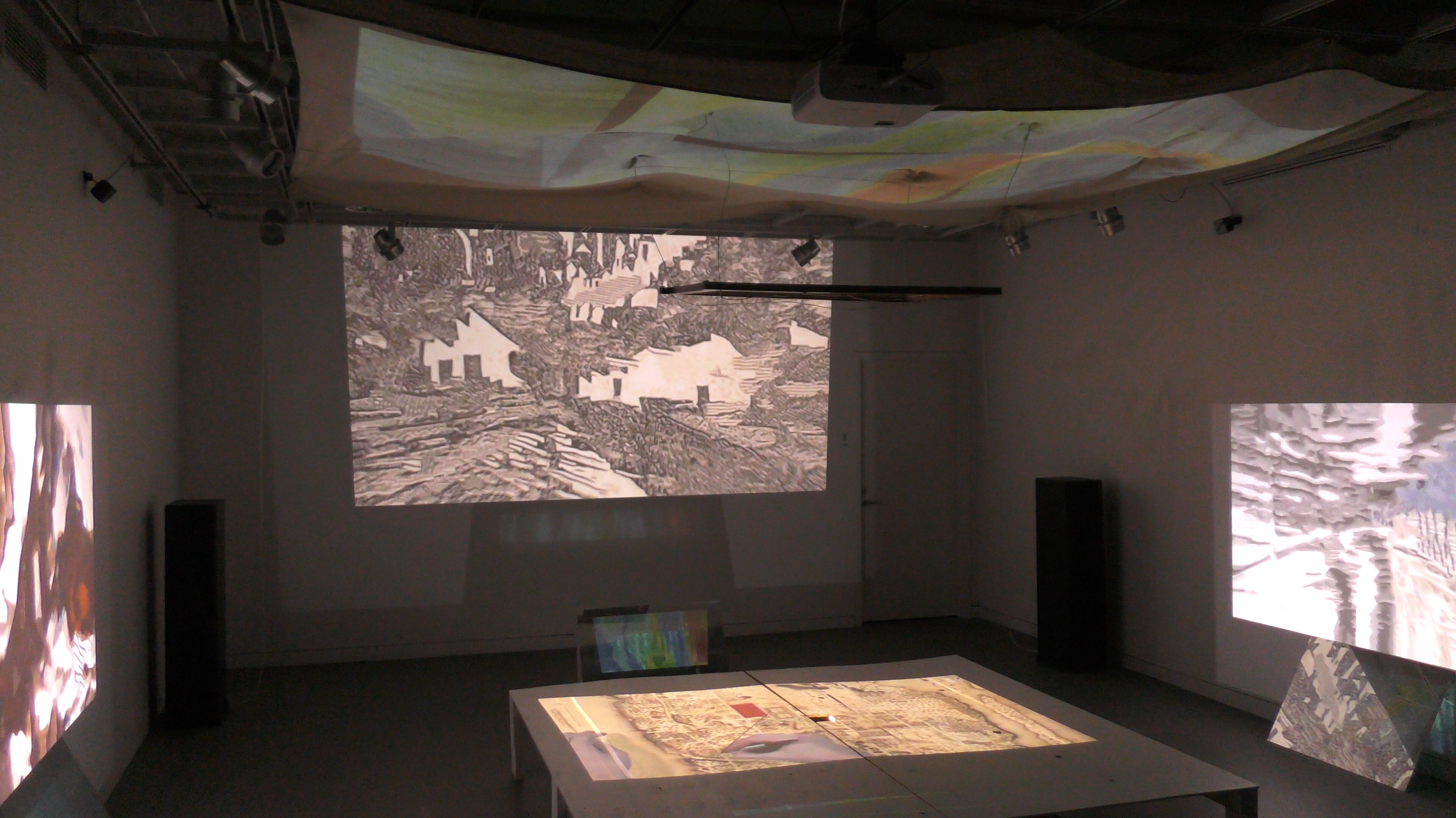
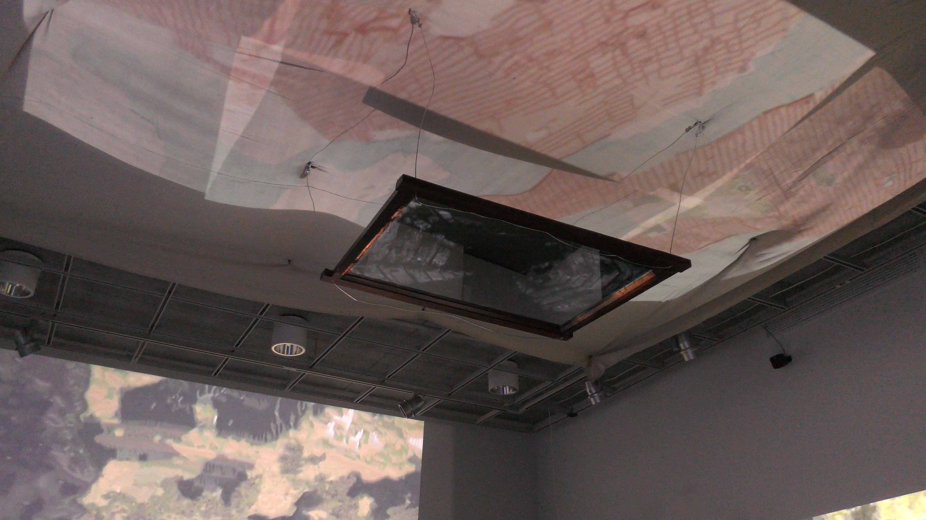
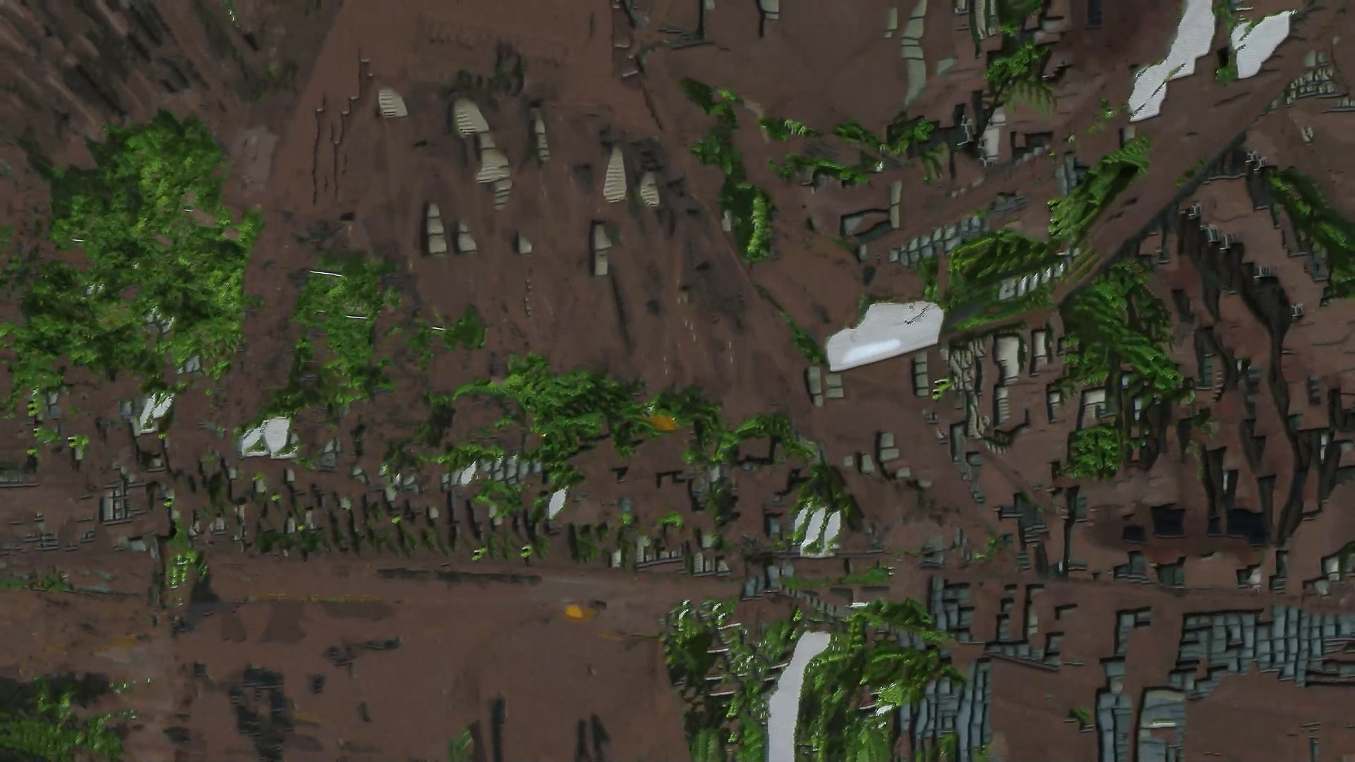
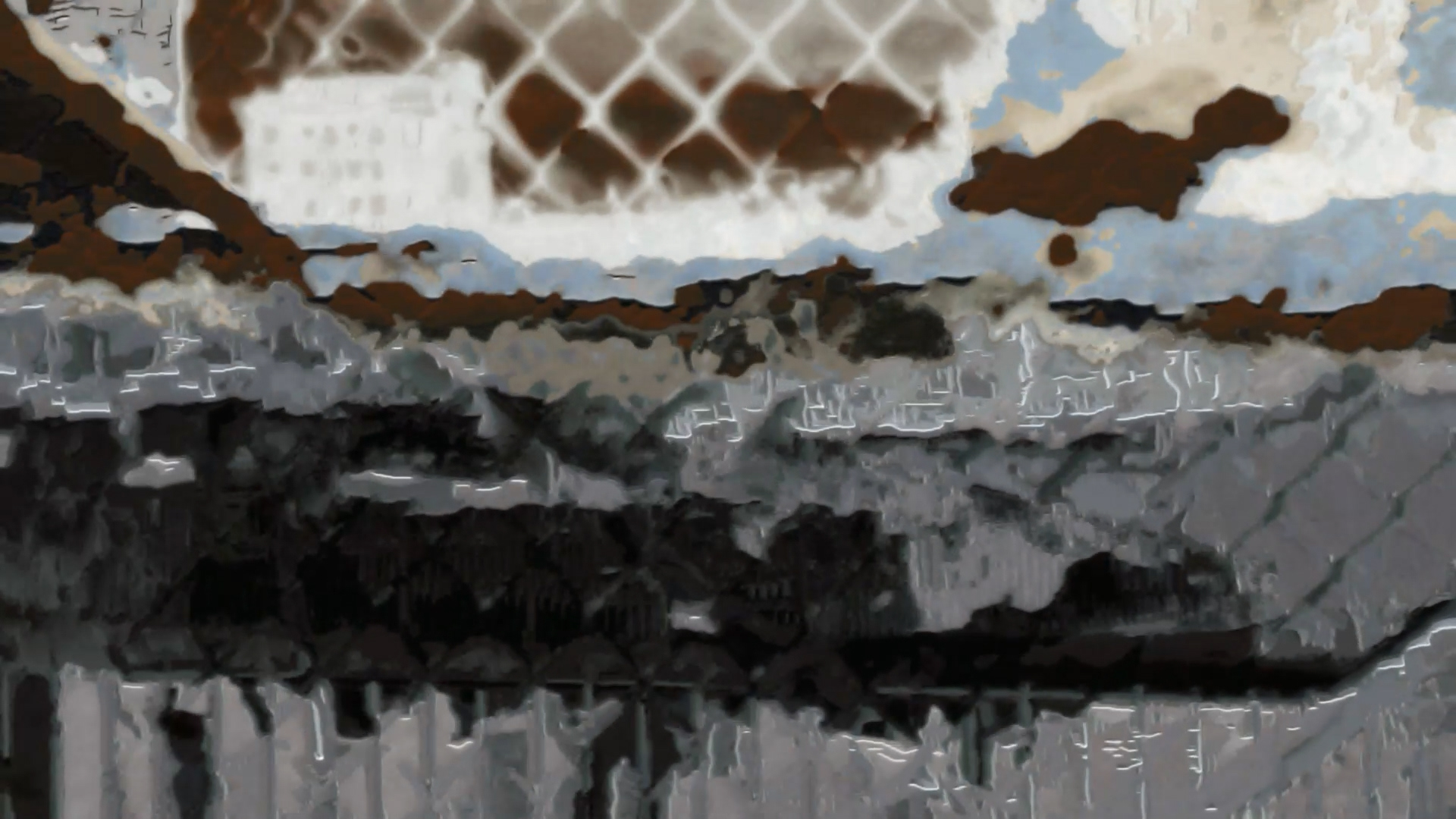
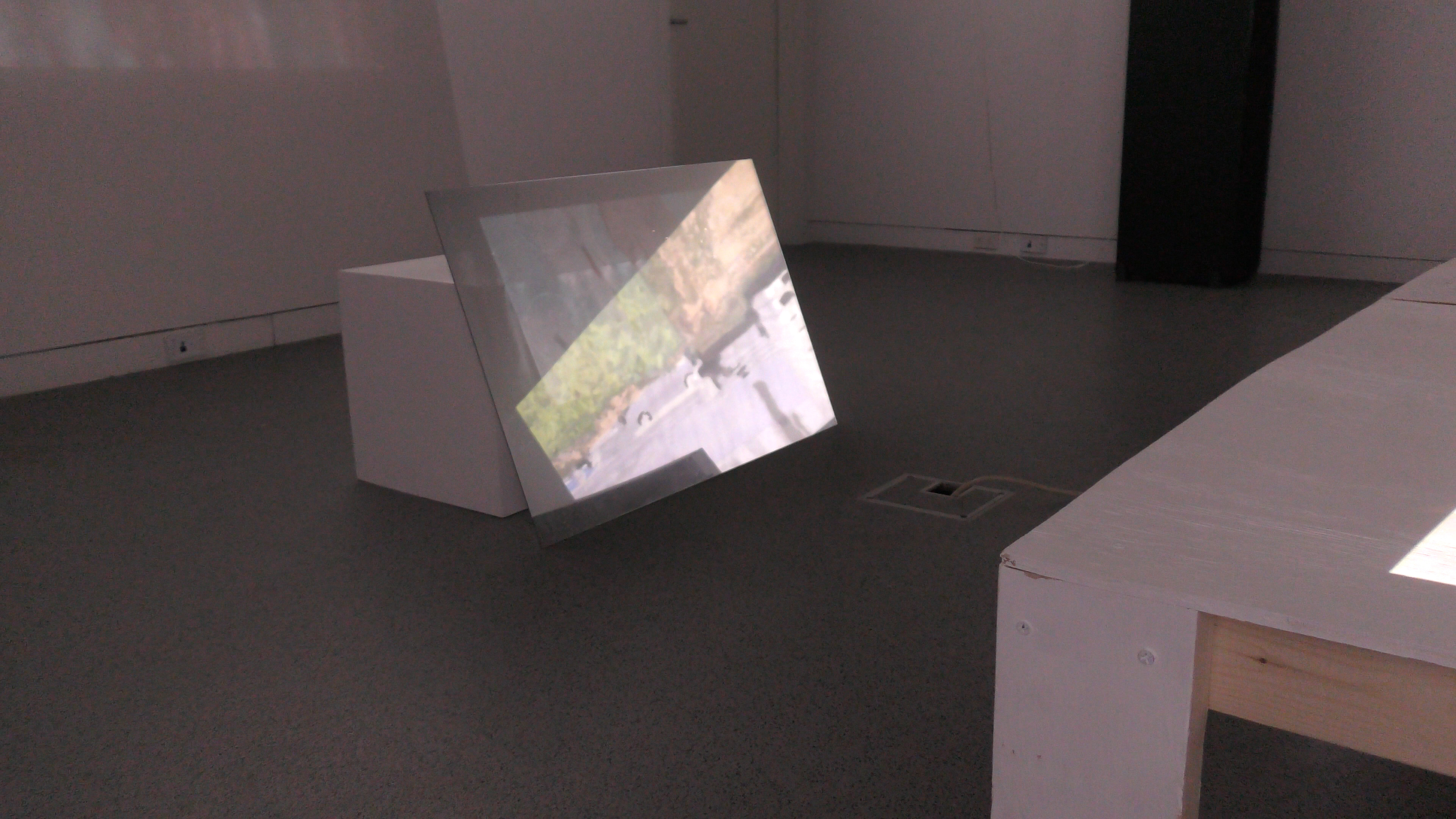
Our Trespasses
Documentation of the creation of the Vessel in Hudson Yards through census manipulation, the mismanagement of H1B Visa funds, and the razing of Seneca Village.
↑
Back to Top